PLACES OF TOURIST ATTRACTIONS IN BANGLADESH
Tourist site of Kaptai
Kaptai is a region in south-eastern Bangladesh. The Kaptai Upazila (subdistrict) is part of the Rangamati District of Chittagong Division. Karnaphuli Hydroelectric Power Station, the only Hydro-electric power plant of Bangladesh is located here. The Kaptai Dam built for this purpose on the Karnaphuli River created the Kaptai Lake, the largest man-made dam in Bangladesh.

 Karnafuli Hydro Power Station the only hydropower plant in the country is located at kaptai, about 50 km from the port city of chittagong. This plant was constructed in 1962 as part of the 'Karnafuli Multipurpose Project', and is one of the biggest water resources development project of Bangladesh. After being commissioned in 1962, the plant could feed the national grid with 80 MW of electricity. In later years, the generation capacity was increased in two phases to a total of 230 MW.
The plant not only plays an important role in meeting the power demand of the country but is also vital as a flood management installation for the areas downstream
The earth-filled dam Kaptai is an earth-fill dam. It is 45.7 m (36 m MSL or mean sea level) high and 670.6 m long. The maximum width is 7.6 m and width at the foot is 45.7 m. The 16-gated spillways, each 12.2 m by 11.3 m, can together pass a flow of 625,000 cu ft/s (17,700 m3/s). The average annual flow in the reservoir is approximately 15,646,000,000 cubic metres. The flood absorption capacity is 8,250,000 acre feet (1.018×10¹⁰ m3) and the flooded area at 33 m MSL is 777 km².

After several surveys, the Kaptai site was selected in early-1952 for building the dam. In fact, Kaptai is an arc-shaped canal between the river Rinkhyong at the upstream and the fountain Freengkhyang at the downstream. As per design, the dam at the uphill end of the arc would stop the waterflow and the water thus arrested would create a large reservoir, but when released through the tunnel-like route, would activate machines for generating electricity. With this plan the government of Pakistan approached USA for financing the Kaptai Hydroelectric Project. The proposal was accepted and International Engineering Company (IEC) was engaged in 1952 to construct the dam. Another company, Utah International Inc, joined the project in 1957. Construction was completed in the end of 1961 and the spillway was closed in 1962. The same year the designed maximum level of water was attained in the monsoon and the hydroelectric plant was put to operation to supply electricity to Chittagong area and to the national grid. Due to the construction of the dam on the river at Kaptai, a vast lake of water known as the kaptai lake has formed the reservoir for the power plant.

The reservoir flooded a vast area and thousands lost homes and arable land. These people were not, however, the owners of the land since the Hill Tracts Manual had made all the land in the area the state property. Yet, on humanitarian grounds, the government had to arrange for their due compensation and rehabilitation. The project document had indicated that the lake would inundate the areas up to 33.22m MSL. It would cover about 665 km² and flood about 777 km². The estimated figures of the number of affected families stood at 18,000, cultivable land submerged at 218.7 km², and affected forestland at about 688.94 km². The government allocated Tk 41.5 million to the affected families as compensation. However, not all of them received the cash compensation due.

Tribal
lives in the Kaptai, Rangamati
Climate The project area lies in the path of heavily moisture-laden monsoon winds. The rainy season extends from June through November and about 80% of the annual rainfall is concentrated in this season. The annual rainfall in the area is estimated at 2,200 mm to 3600 mm. Although the humidity is 35-45% from November through March, it becomes 80% or even higher during the rainy season. Most of the evaporation is concentrated in the dry season. The average annual evaporation is about 500 mm. Wind is generally considered to be mild except during strong thunderstorms and cyclones. The maximum wind velocity recorded is 96.54 km/h.

Flooding Normally, large floods occur during the monsoon from June to October. High floods stay for periods of 4 to 5 days and are likely to occur during spring high tides. The flood condition is aggravated by typhoon rainstorms, which tend to raise the tidal level. The major cause of severe flooding in low-lying areas downstream is synchronization of the flood peaks of the karnafuli and the relatively sluggish halda river.
 |
KARNAPHULI BRIDGE |
Power generation The project was inaugurated in early 1962, with two of its three planned generators putting 80 MW of electricity into the national power grid. The third generator of 50 MW started power generation in January 1982. A feasibility study revealed that the reservoir had a 25% higher capacity than what was originally computed. The operating data also revealed a higher value of inflow than had initially been calculated. In order to exploit this additional potential, two more generators having 50 MW capacity each was installed in 1988.
 |
| Kaptai Dam |
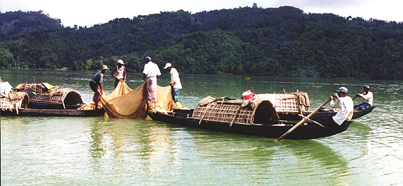
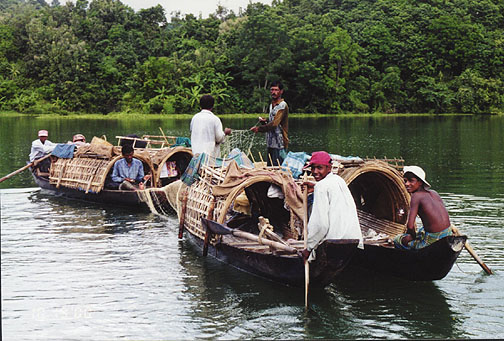
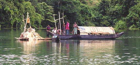
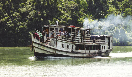
The power available from this dam has accelerated the establishment and expansion of industries in Bangladesh and has resulted in an appreciable saving in foreign exchange required for the import of manufactured goods. The power generated also permits pumping of water to achieve widespread irrigation and drainage. The reservoir storage designed to prevent serious flood has already saved the city of Chittagong from severe damage. Fishing in Kaptai reservoir annually produces more than 7,000 tons of freshwater fish. Right above the dam there is the unending vista of a smooth sheet of water up to all conceivable corners of chittagong hill tracts made negotiable by launches, boats and other craft to the farthest Barkal rapids to the east and Kasalong forest reserves to the north, past rangamati. At Kaptai, all floating cargoes are transported across the dam by electric overhead trolleys.
Kaptai Dam, Bangladesh
A pleasant and picturesque drive of 64 km. from Chitagong brings you to huge expanse of emerald and blue water ringed with tropical forest. It is the famous man made Kaptai lake (680 sq. km) formed by damming the Kamaphuli river. Only 3 km. from Kaptai along Chittagong Road, lies the ancient Chit Morong Buddist temple having beautiful Buddist statues. Other places of interest in the Hill Tract districts include Chandraghone, Khagrachari and Bandarban all in picturesque surrounding.

This video was captured while i was going to subolong, Rangamati. The scenario is lot more beautiful than it is seen in here...
Kaptai Lake, Rangamati; Bangladesh by Me
A Resort at Kaptai Lake, Rangamati
Bangladeshi Food and Drinks can be little exotic than the main stream ones once you visit resorts like Peda Ting Ting at Rangamati in Chittagong Hill Tracks. This resort is like an island amid beautiful Kaptai lake with a restaurant and few cottages for the guests to stay. Thank you for sharing this video with you facebook.
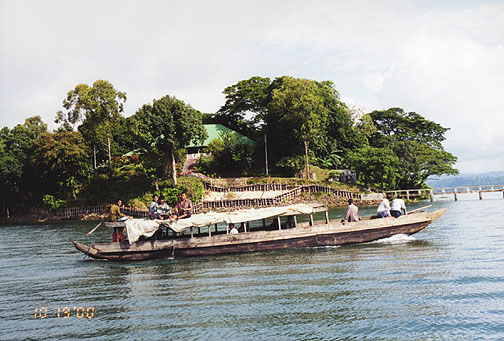
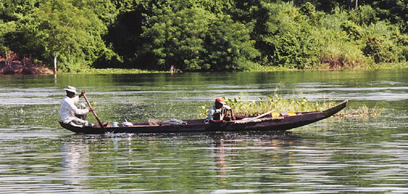
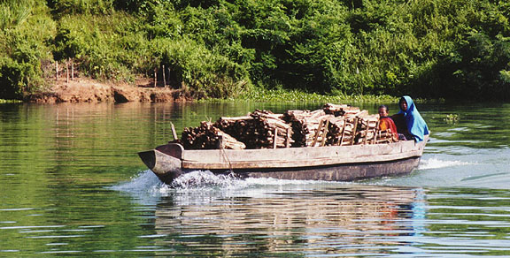
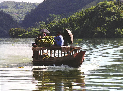
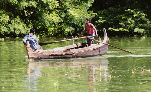
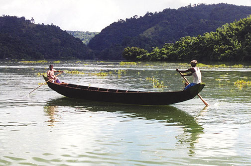
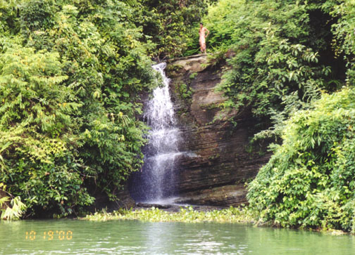
Some Scenery Of kaptai Lake:
This video was captured while i was going to subolong, Rangamati. The scenario is lot more beautiful than it is seen in here...
Kaptai Lake, Rangamati; Bangladesh by Me
A Resort at Kaptai Lake, Rangamati
Bangladeshi Food and Drinks can be little exotic than the main stream ones once you visit resorts like Peda Ting Ting at Rangamati in Chittagong Hill Tracks. This resort is like an island amid beautiful Kaptai lake with a restaurant and few cottages for the guests to stay. Thank you for sharing this video with you facebook.
Some Scenery Of kaptai Lake:
No comments:
Post a Comment